On the map
Rhea Purohit reads a lot and writes about what she discovers — both at the knife-edge of technology and buried in old businesses.
When was the last time you were lost? I mean, really, achingly, I-better-figure-it-out-before-sunset lost.
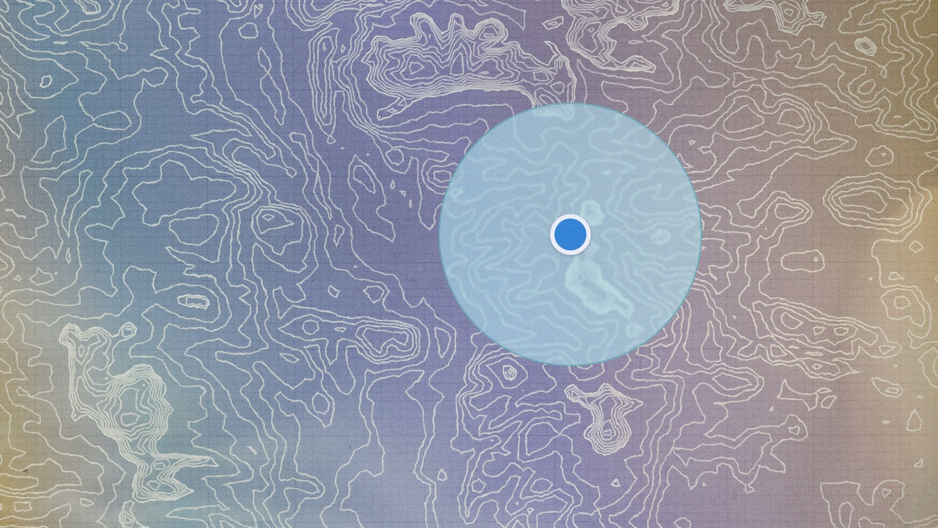
For nearly two decades, a pulsing blue dot has (mostly) saved us from that fate. The dot lives on our phones, tucked into the grid inside apps like Google and Apple Maps. It tells us where we are, what’s nearby, and how long it’ll take to go somewhere. We don’t think about the blue dot too much — we just trust it to know.
But behind that dot is an audacious bet: that the world around us — skinny skyscrapers, mid-century post offices, 24/7 convenience stores with flickering neon lights — can be folded into pixels that we can pinch and pan between our index finger and thumb.
Our quest to orient ourselves in the world isn’t new. “Map making is perhaps the oldest variety of primitive art… as old as man’s first tracings on the walls of caves and in the sands,” noted historian Lloyd Brown in The Story of Maps, his 1949 book about cartography.
At times, cartography has been driven by artistic sentiment, as with one of the oldest surviving maps in the world: a Babylonian clay tablet from the first millennium BCE, measuring approximately 12 by 8 centimeters — about the size of a smartphone — that depicts the world as a disc surrounded by a “cosmic” river, with Babylon at the center. Maps like these were patronized by rulers who wanted to demonstrate the extent of their mighty empires. More familiar to us is the practical necessity of modern maps, built to help us navigate the world.
Read more stories like this one in Meridian: Details — on the subtle choices that shape how ambition comes to life.

The desire to make maps has not changed with the years; neither have some of its challenges. There remains a paradox at the heart of map-making. In order to include something, you often have to leave something out. You cannot capture the fullness of the world on a 2D plane, so every map is a reduction: a set of choices about what matters enough to be recorded.
Still, we push onwards. This is the story of two eager startups that, in the 1990s, poured money, talent, and years of hard work into taming the infinite detail of the physical world onto those glass screens. One got there first, the other got it right.
The internet’s first map
In the mid-1990s, while most home computers still crackled noisily while connecting to the internet through dial-up and browsers loaded pages at glacial speed pixel by pixel, navigating digitally through a place you’d never set foot in was novel, not to mention remarkably useful — and that was what MapQuest set out to do. They wanted users to boot up their computers, and in a few deft keystrokes, find directions to a hotel in a city halfway across the United States, all from the comfort of their living room.
MapQuest roots trace back to R.R. Donnelley, a printing press headquartered in Chicago. Founded in 1864, Donnelley had become an established name in the industry over the years, printing magazines for the likes of LIFE and Time. Donnelley was inclined to invest in new technology to support its growing business, acquiring a set of very large and equally expensive color printers — and in the mid 1960s, in an attempt to get as much as possible out of these coveted printers, Donnelley started making maps.
At first, the press printed road maps for gas stations, the kind you’d grab from the promotions stand on your way out. The company was soon commissioned to make custom maps for textbooks and encyclopedias, competing with publishers in a similar niche like Rand McNally and H.M. Gousha. By 1967, Donnelley’s map-making business was big enough for the company to create a division dedicated to cartography.
The business was primarily focused on paper maps until 1990, when a young software startup approached Donnelley. They wanted to create a tool that would help people plan their trips. The startup, known as Spatial Data Sciences, had developed technology to gather digital road map data. Donnelley accepted the offer — and while the project began as a joint venture, Donnelley bought out the startup’s share within a year and took full control. Just like that, Donnelley was in the business of digital mapping systems and the new company, GeoSystems Global Corporation, was an early leading player in the market.
GeoSystems built an app called Fodor’s Travel Manager for the Newton MessagePad, Apple’s personal digital assistant device that launched in April 1992. The travel guide made maps of the eight big cities in the United States that were searchable to the users of the Newton. GeoSystems loaded the maps onto a memory card that allowed users to locate hotels and restaurants in the specified cities, complete with street-by-street directions. While this might sound similar to how we use Google Maps today, the Newton app didn’t include real-time GPS or dynamic routing — it was more like a static preview of features that would later evolve into real-time navigation and location tracking.
However, as three journalists from BYTE, a popular early personal computing magazine, put it, “The ability to navigate through a new city using the MessagePad shows its value as a general-purpose device, given the proper software” — and therein, it seems, lay the rub. The Newton failed because its capabilities fell short of Apple’s ambitious marketing — in particular, its supposed killer feature of handwriting recognition.
There remains a paradox at the heart of map-making. In order to include something, you often have to leave something out.
In any event, the fascinating technology GeoSystems had built for the Newton didn’t wither away. By the mid-1990s, as Yahoo! and internet service providers AOL and Netscape, it became clear that the internet was becoming a major force. The GeoSystems team saw an opportunity to go direct. They decided to launch a consumer-facing product of their own: a website called MapQuest.
MapQuest launched on February 6, 1996, with a bright-yellow, grid-paper background, reminiscent of a traditional road map. The homepage was cheerful, scattered with buttons framed inside thick maroon borders like digital road signs, and urged visitors to click into adventure. MapQuest’s two main features were a digital map called Interactive Atlas, and a turn-by-turn directions tool known as TripQuest. The latter let users search for a destination and print out detailed driving directions — a memorable ritual for anyone who made a road trip in the late ’90s. MapQuest was free for users. The company made money through ads and by charging businesses to list their brick-and-mortar locations on the digital maps.
MapQuest grew like a weed because it did something genuinely new in terms of what was available to the average consumer when it came to digital maps. It brought the power of sophisticated mapping technology, previously locked behind expensive and complicated corporate and military systems, directly to the people. GeoSystems saw the internet as an opportunity to democratize digital maps — and in fact, much of the code for MapQuest was adapted from their work for enterprise clients. Their vision paid off dramatically. MapQuest eventually went public and was acquired by AOL for $1.1 billion dollars in 1999.
The company was flying high — but it slowly began to lose altitude.
The theory is that MapQuest failed because AOL prioritized squeezing ad revenue out of it instead of actually improving the product, a short-sighted strategy made worse by the disarray caused by AOL’s much-discussed merger with Time Warner. James Killick, VP of product management at MapQuest during this time, recalls warning leadership that MapQuest had no real moat. The company didn’t make its own maps — instead, most of its data was licensed from third parties like NavTech (now HERE) and A.N.D. (now Geojunxion) — which made it more feasible for copycat players to enter the market.
Killick had a point.
MapQuest still exists in substance, but with each passing year, more people go online having never heard its name. In 2015, it was folded into Verizon’s acquisition of AOL. Four years later, it was passed on to an adtech company called System1. The sale price isn’t known because it wasn’t big enough for Verizon to bother with a filing.
Google’s meandering path
MapQuest didn’t fade into relative obscurity all at once. Google Maps went live in February 2005. Even three years after the launch, in 2008, MapQuest was the market leader in online mapping as far as web traffic went, with forty seven million unique users that July alone. Google Maps was a close second with thirty nine and a half million in the same month.
But the balance didn’t hold for long. These days, when people think about finding their way, they think of Google, the company that popularized that pulsing blue dot we’re so familiar with. But Google Maps wasn’t the company’s first attempt related to mapping. In 2003, they launched Google Local, a spartan feature with two text boxes: one to enter what you were looking for — like “hairdressers” — and another to enter where — like “Portland, Maine.” Google Local would return web pages that matched both those criteria.
Google Local garnered a grand total of zero daily users, recalled Bret Taylor, then product manager at Google, CTO of Facebook later, and now on the board of OpenAI. It failed because the feature didn’t live up to its promise. In an interview with Vox, Taylor remembers one of the feature’s most amusing failure modes: When people searched for coffee shops near Palo Alto, Google Local would return web pages from tech giant Sun Microsystems, whose address appeared on every page of its website and whose products had coffee-related names like Java.
Coffee-shop confusion aside, Taylor explained in the First Round Review that Google Local failed because it wrapped new functionality within a familiar interface — it tried to mirror Yahoo’s Yellow Pages, which was essentially just a digital version of a traditional directory — so people never saw a reason to explore its newer features.
This is the story of two eager startups that, in the 1990s, poured money, talent, and years of hard work into taming the infinite detail of the physical world onto those glass screens. One got there first, the other got it right.
So Google took another swing at maps. This time, they got it right. Namely, through the acquisition of three startups in 2004: Where2Technologies, Keyhole, and Zipdash.
The first of the three was Where2Technologies, a startup founded by Danish brothers Jens and Lars Rasmussen. Jens had been experimenting with a software that let users search for local businesses and visually locate them on digital maps, and had landed on desktop software installed using a CD-ROM. They had decided to steer clear of web-based maps, perhaps wary of entering a space MapQuest already owned.
After the acquisition, Google decided to distinguish itself from MapQuest, which had popularized static, turn-by-turn directions. Google’s new vision was to put the map itself at the heart of the experience and to have users navigate directly on one, zooming in and out at will. In developer circles, this functionality was colloquially known as a “slippy map.”
“The map interface reframed the product category around the strengths we wanted our end users to discover — exploration and breadth,” Bret Taylor later reflected in First Round Review. “People instantly found things on Google Maps that they never even searched for on Google Local. We made our users a little bit uncomfortable, but in doing so we reset their expectations, and new behaviors came out of it.”
From a technical perspective, the Where2 team’s breakthrough was figuring out how to load maps in small, fast-loading pieces, called “tiles,” rather than all at once. This made it possible to click and zoom smoothly, a user experience we now take for granted.
The second startup was Keyhole, which allowed users to view satellite images from around the globe. One of Keyhole’s early products targeted commercial real estate clients, but sales were sluggish, and despite venture funding, the company was nearly out of money.
Then, during the U.S. invasion of Iraq in 2003, CNN used Keyhole’s software to zoom from space into active combat zones and broadcast it on live television. A condition of the deal was that Keyhole’s URL appeared on screen every time it was used, giving the company sudden national exposure. Google acquired Keyhole just as the startup was about to close its Series B in October 2004. Inside the search engine, Keyhole’s technology formed the basis for Google Earth.
Google also made a third, quieter acquisition in the same year: Zipdash, a small startup that collected real-time traffic data by sending information to and from mobile phones. A useful product, but ahead of its time. Mobile hadn’t yet reached critical mass, and as David Rosenthal of the Acquired podcast joked, Zipdash had “a giant market of only four Nextel phones at the time of the acquisition.”
Google acquired it for just $2 million. The Zipdash acquisition looked like a footnote at the time, but the technology would prove foundational for the mobile version of Google Maps, which powers a large share of their business today.
On launch day in February of 2005, Google Maps was featured on the Hacker News of the era, Slashdot. After launching, Google prioritized speed, making their maps load quicker than anyone else’s. Then they brought satellite imagery, historically locked inside clunky desktop software, straight into the browser.
We made our users a little bit uncomfortable, but in doing so we reset their expectations, and new behaviors came out of it.
That wasn’t the end of it. Google went on to face the very challenge that had doomed MapQuest: a lack of a moat. Early versions of Google Maps relied on third parties — mostly Tele Atlas and NavTeq — for their data. That became a problem in 2007, when both were acquired by hardware-focused companies (TomTom and Nokia, respectively) that prioritized deals with automakers and GPS device makers, signalling looming risks around long-term data access and licensing control.
Google wanted their maps in the hands of everyone, everywhere — and achieving this meant undertaking the phenomenally difficult task of creating their own comprehensive maps from scratch.
Google leaned into the monumental task headfirst. In 2007, they acquired another startup called Vutool, founded by Stanford grads working on bringing immersive street-level imagery to the web. Their big idea was to send cars with roof-mounted cameras across American streets to capture detailed, ground-level images, a vision that eventually became Google Street View. Google’s engineers adapted the visual data for Maps, setting the company on a path toward reducing its reliance on third-party providers.
Google’s position was cemented with the arrival of smartphones. When the iPhone launched in 2007, Apple didn’t allow third-party apps — but it did build two of its own using Google's services: YouTube and Maps. These were native, Apple-built apps powered by Google's data. A year later, Google Maps came bundled with the first Android devices. By 2009, Google added real-time turn-by-turn navigation powered by GPS, starting with Android — and at the end of that year, Google Maps was the most-visited internet mapping destination in the world.
MapQuest released its first iPhone app in 2009, with a version including voice-guided turn-by-turn navigation later that year. But from that point on, they’d always lag behind, unable to keep up with the pace and polish of Google Maps.
Can the maps of the future ground us?
Google transformed the humble everyday act of getting from one place to another. But the magic of modern map technology has its own new challenges. Research suggests relying on GPS may actually weaken our natural spatial abilities — our ability to mentally visualize the layouts of places, recall landmarks, and understand relationships between locations. Our spatial abilities matter beyond navigation; they play an important role in ordinary tasks, like packing for a trip because you have to visualize the various places and scenarios you might encounter, for example.
It may be that the next frontier of mapmaking will allow us to preserve these abilities while still enjoying the ease and detail of digital navigation. (For example, a now-discontinued Microsoft research project called Soundscape, originally designed with the visually impaired in mind, used auditory cues to help users “hear” their surroundings. “If you are standing and Starbucks is in front of you and to the right, we will say the word ‘Starbucks,’ but we won’t say it’s in front of you and to the right, it will sound like it is over there where Starbucks is,” explained a product strategist on the team, Amos Miller).
We're lucky to have this problem — a chance to design tools that don’t just get us where we’re going, but help all of us stay connected to the myriad details and possibilities of where we are.
About the author
Rhea Purohit reads a lot and writes about what she discovers — both at the knife-edge of technology and buried in old businesses. She’s written for Every and Asimov Press, and is building a library of business case studies for Cedric Chin at Commoncog. She’s writing to you from Valencia, Spain.
Share article
Related reads
If the devil’s in the details, the robots are too

What comes next?

Dreaming in daylight